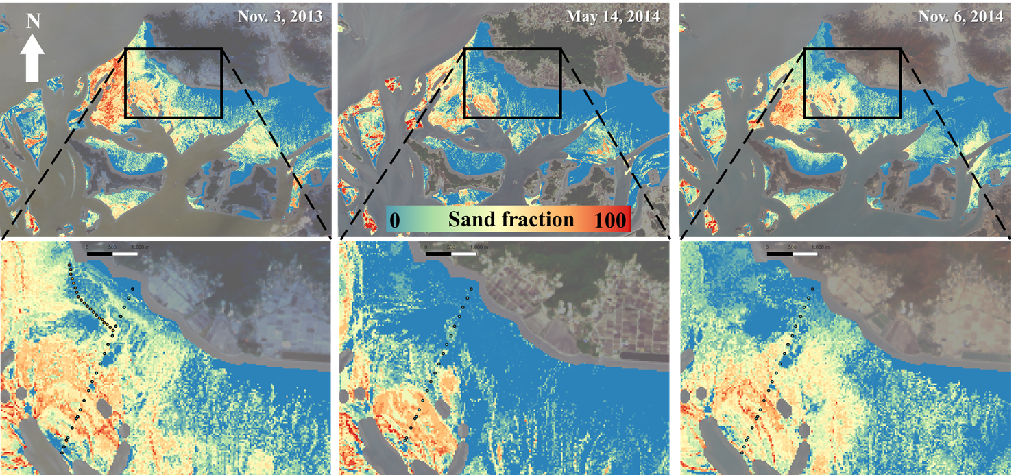
🐚 Tidalflat - Nature's true source of life 🐚
This incredible ecosystem is submerged half the day,
constantly shifting as tides ebb and flow. South Korea's mudflats span 2,443.3 km² (about 4x Seoul's size!),
requiring advanced monitoring approaches beyond traditional drone and vessel surveys.
Our research leverages 🛰️SAR satellite imagery🛰️ to observe mudflats consistently regardless of weather conditions.
By analyzing pixel brightness, exposure timing, and capture dates across images, we can map tidalflat topography and exposure
frequencies of these dynamic environments. This research will be crucial for developing monitoring strategies as
we face global sea level rise challenges and enviornment pollution caused by coastal developments.
radar remote sensing
geospatial information
tidal flat
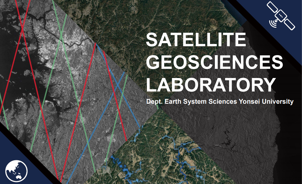
This is the webpage of the Satellite Geosciences Research Group at the Department of Earth System Sciences, Yonsei University. The group is led by Hahn Chul Jung, and the research that we do focuses on radar remote sensing, land information system, natural disaster monitoring, and the study of large-scale hydrology. What we do in our lab is as follows : satellite data processing and develop algorithms for earth observation, modeling implementation using satellite-based input data, analysis & understanding of natural phenomena using satellite data and modeling.